Peatlands cover around 10 to 12 percent of the UK’s landscape, and their impact reaches far beyond their boundaries. Formed over thousands of years from layers of waterlogged, carbon-rich vegetation, these landscapes are among the planet’s most powerful natural carbon stores. When they stay wet, they lock in carbon; when they dry out, they release it back into the atmosphere, contributing to climate change.
That’s why understanding how water moves through peatlands is so critical, and it all begins with reliable data. With the right monitoring tools, conservation teams can track subtle changes, measure restoration success, and protect one of the UK’s most valuable natural resources.
Peatlands don’t just store carbon; they shape how water moves across the landscape. Their high surface roughness helps to intercept, filter and store water: this natural process reduces flooding, supports cleaner river systems, and helps maintain stable flows for many of the UK’s drinking water catchments.
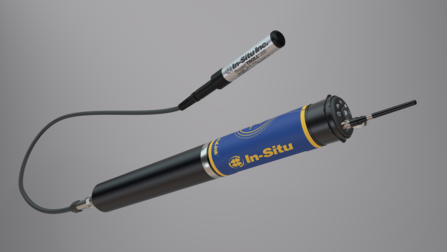
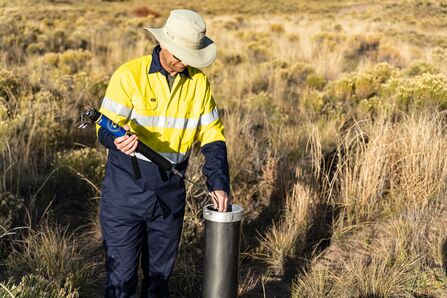
Keeping these systems healthy means keeping them wet. That requires consistent water-level monitoring, even in harsh and unpredictable conditions. In-Situ’s reliable, field-ready instruments make it possible to collect the long-term data conservation teams need, even in the most remote and challenging sites.


