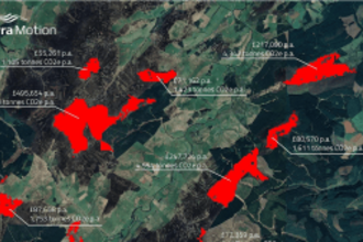
Satellite Map Identifies Peatland Areas where Restoration has the Greatest Carbon Impact
TerraMotion use images gathered by the Sentinel-1 satellite over a 5-year period to map areas of actively eroding peatland areas across the UK and the Republic of Ireland. Find out how this map…
