A case study estimating the amount of carbon released from The Roaches wildfire in 2018
Introduction
The MoorLIFE 2020 project aims to restore and protect areas of Active Blanket Bog within the South Pennine Moors (SPM) Special Area of Conservation (SAC), through undertaking concrete conservation activities, environmental monitoring and communication / education events.
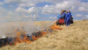
This study was undertaken as part of the MoorLIFE 2020 project, to estimate the amount of carbon released into the atmosphere from the wildfire that took place on the Roaches in 2018. This work fits into the wider MoorLife 2020 objectives of monitoring threats to Active Blanket Bogs, by quantifying the impact a wildfire can have on carbon emissions. Additionally it allows us to compare these emissions to those generated through MoorLIFE 2020 activities, setting our work in the wider context of carbon emissions. The full report can be found here - www.moorsforthefuture.org.uk/our-work/our-projects/moorlife2020/moorlife2020-research-and-monitoring/carbon-audit
Description
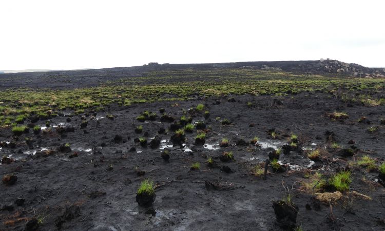
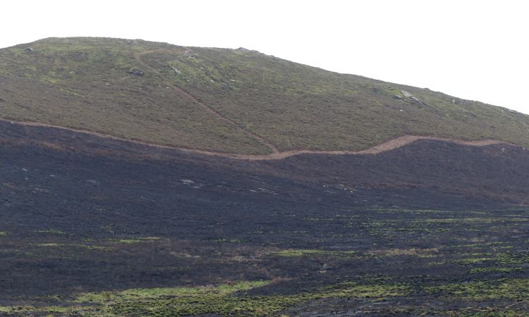
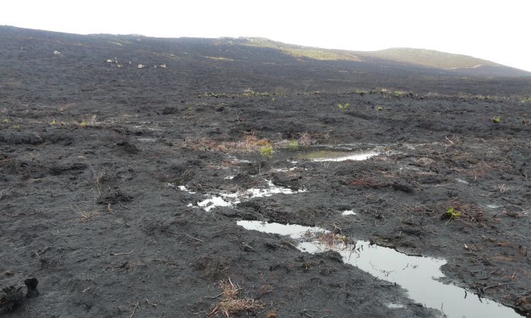
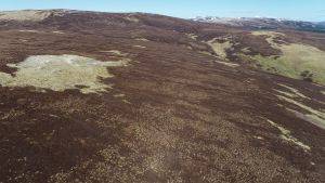
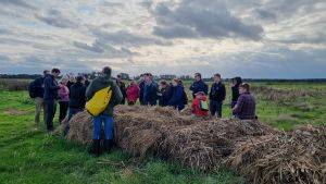
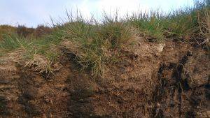
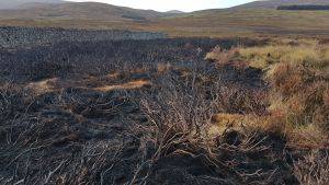
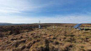
This study focuses on the Roaches nature reserve. The site is situated at the southern end of the SPM SAC within the Peak District National Park (PDNP), 4 miles North of Leek and 8 miles North West of Macclesfield. The sites covers 395 hectares of which 61 hectares of blanket bog was damaged in a 2018 wildfire.
Research Results
The results show that from this single wildfire 3,115 tonnes of carbon was released into the atmosphere as smoke and fumes. A further 129 tonnes was redeposited back into the peat as pyrogenic material such as Black Char.
Converting the carbon released to the atmosphere to carbon dioxide identifies that 11,430 tonnes was emitted. Comparing this to the MoorLIFE 2020 project, it is possible to determine that approximately 68 times more carbon dioxide was released from this one wildfire than the whole of MoorLIFE 2020 emitted in year 3 (166 tonnes of carbon). This is the equivalent of running 1,426 homes for 1 year.
{"zoom":13,"lat":53.1639035,"lon":-1.9952079,"markers":{"0":{"lat":53.159881333,"lon":-1.994706607}}}
Project Name: A case study estimating the amount of carbon released from The Roaches wildfire in 2018
Organisation / Lead partner: Moors for the Future Partnership
Location: The Roaches, Leek, Staffordshire, ST13 8UA (nearest)
Approximate area covered: 61 ha
Conservation Status: Site of Special Scientific Interest (SSSI), Special Area of Conservation (SAC), Special Protection Area (SPA)
Predominately: Upland
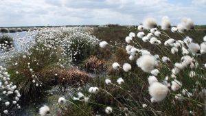
Peat Habitats: Blanket bog
Project Type: Research