Working to restore Yorkshire’s disappearing blanket bog
Introduction
The Yorkshire Peat Partnership was established in 2009. Managed by Yorkshire Wildlife Trust, the partnership’s aim is to restore 50% (35,000 ha) of Yorkshire’s blanket bog by March 2017. The partnership is funded by Yorkshire Wildlife Trust; the Yorkshire Dales NPA; the North York Moors NPA; Natural England; Environment Agency; Yorkshire Water; and the National Trust.
Description
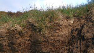
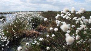
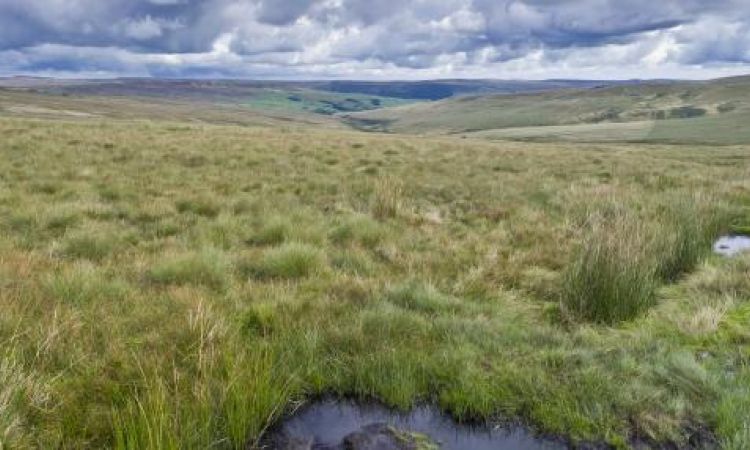
The Yorkshire region contains about 20% of England’s remaining blanket bog In addition to 70,000 ha of blanket bog, the region is home to 100,000 ha of degraded upland peatland that no longer supports blanket bog vegetation. The vast majority of this resource is degraded due to:
- Changing climate
- Historic atmospheric pollution
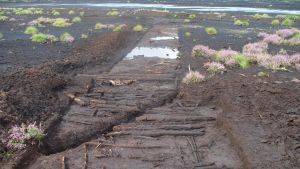
- Drainage
- Grazing
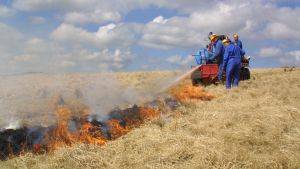
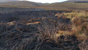
- Wildfire or poorly managed burning
- Recreational erosion e.g. from footpath erosion.
Restoration Delivered
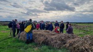
Site assessment has provided invaluable information as to the extent of the problem in the Yorkshire Peat Partnership area. The estimated total length of grips is 5850km and the total length of gullies and hags estimated to be eroding is 1768km together with 340 ha of bare eroding peat. In addition to the funding provided by the organisations in the Yorkshire Peat Partnership sporting and farming landowners, agents and gamekeepers contribute significant amounts of their time and in-kind expenses without which the partnership could not function. In addition the Partnership’s Steering group is supported by representatives from the Moorland Association, National Gamekeepers Association, National Farmers Union, Nidderdale AONB Partnership, Yorkshire Dales Rivers Trust and Pennine Prospects.
Site Activity
In order to address all of the underlying causes of peat degradation on a site, the Yorkshire Peat Partnership has developed an innovative set of methods that combine remote sensing, field surveys and mobile GPS enabled computers. A two-stage survey of the site is carried out. The first part is a desk-based analysis of aerial photographs involving digitising areas of grip and gully and the use of spectral analysis software to identify areas of bare peat. This is then ground-truthed through a field survey during which grips and gullies are classified based on their size and levels of erosion, habitat variables are recorded and peat depths taken. This is mapped and used to draw up a Peatland Restoration Plan which, once agreed, forms the specification document for the restoration works. One of the advantages of this rigorous site assessment is that it makes the development of a contract and estimation of labour and materials required easier.
Project Name: Working to restore Yorkshire’s disappearing blanket bog
Organisation / Lead partner: Yorkshire Peat Partnership
Location: Yorkshire
Approximate area covered: 35000 ha
Predominately: Upland
Peat Habitats: Blanket bog
Project Type: Restoration, Management
Year Project Began: 2009